Campaigners and councillors team up to create map showcasing sustainable travel routes around Warwick
and live on Freeview channel 276
Campaigners, councillors and councils have team up to create a map that showcases sustainable travel routes in and around Warwick.
When Warwick resident Ralph Phipps moved into his newly built home on Europa Way, he wanted to understand how he and his family could walk and cycle to access local amenities such as the shops, town centres and school.
Advertisement
Hide AdAdvertisement
Hide AdRalph contacted local councillor Jacqui Grey, who is also a member of campaign group Clean Air Warwick, to ask if such a route map was available.
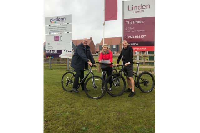

“The new Myton Road developments are connected to our local amenities through a fantastic network of foot and cycle paths, designed to support safe and sustainable travel", said Cllr Grey.
"Like many residents, Mr Phipps moved into his home before all of the planned routes had been completed and being able to visualise how to move about now and in the future is very important."
Clean Air Warwick was formed last year by a group of residents concerned at the increasing amounts of traffic in the town and the impact this was having on air quality.
Advertisement
Hide AdAdvertisement
Hide AdAndy Thompson from the group worked with Warwick District Council officers and a cartographer to design the map which was funded by Warwickshire County Council and will form part of their ‘New Homes Welcome Pack’, soon to be delivered to the area.
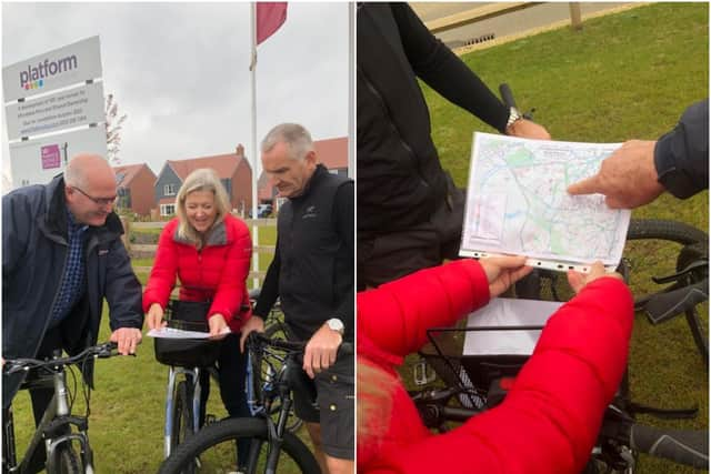
Andy said: “The map is a great tool for local residents and shows how the new cycle path network supports sustainable travel in our local area”.
To access the map or download a PDF go to: https://www.cleanairwarwick.org.uk/goactive/ or the Clean Air Warwick Facebook page.