Will Rugby's new link be a relief or a road to hell?


After rumour, rethinks and an intervention by a government agency to stop the controversial South West Rugby part of the Local Plan from floundering, a planning application has now been submitted for the road that will open up the green fields and provide a bypass for some of Dunchurch’s traffic.
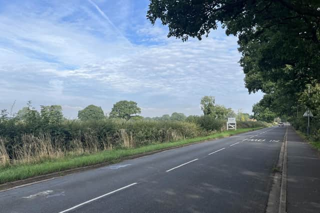
The Homestead Link Road is the name given to the spine road that will cut through agricultural land from near Cock Robin Island to the Coventry Road, west of Dunchurch but not so far as Halfway Lane, with the application also making provision for a second junction to open up the space behind Alwyn Road.
Advertisement
Advertisement
The scheme has been driven forward since Homes England entered the fray, with the South West Rugby scheme having seemed to struggle to get past developer ambitions for thousands of homes and huge profits, to the practicalities of funding the infrastructure that Rugby Borough Council said would have to be in place before large-scale housebuilding could take place.
But on September 8 the Homes England input showed it had made the difference as the plan for that link road was validated by the council and some affected householders have received letters. One assumes the council will act to increase awareness of such a significant moment for Rugby’s future, now the Queen’s funeral has taken place.
Some recipients of the letter were quick to spot what they regarded as a worrying lack of attention to detail as the summary of the plan, also reproduced on the notices posted around the site, gets the identity of one of the key roads affected wrong – referring to the A4429 Coventry Road, when it undoubtedly means the B4429.
That summary can also be found on the Rugby Borough Council website via its planning section and is backed up by numerous documents under the reference R22/0928.
Advertisement
Advertisement
The summary describes the main elements thus: ‘Full planning application for the delivery of an all-traffic single carriageway link road (the Homestead Link Road), including 2m verge, 2m footway and 3m cycleway on the development side of the carriageway, a Pegasus crossing, new junctions with the A4429 Coventry Road, Cawston Lane, Alywn Road, the A426 Rugby Road and to adjacent land allocated for residential development, plus realigned side road accesses to several existing residential properties. A new junction off Alwyn Road, its partial re-alignment and construction of a future 'spine road' (part only) that will provide access to other land allocated for residential development at SW Rugby. Associated works including street lighting, landscaping, surface water drainage infrastructure, utility diversions and ground remodelling, plus demolition of existing agricultural buildings. Creation of a landscaped buffer between the Homestead Link Road and Dunchurch, to include informal footpaths, new and enhanced ecological habitats, plus the same combination of features on land west of the Link Road’.
The council website then goes on to offer 183 supporting documents making the case for permission to be given.
A good starting point is the design and access statement produced for Homes England by the Cardiff office of Arcadis Consulting, part of an international organisation which puts improving the quality of life at the forefront of its work.
The quickest way to get a view of the whole scheme is to turn to page 36 where the most-detailed map of the proposals is given, showing how each of the junctions are designed, notably at either end where the current through route is discouraged by designs that favour using the new road.
Advertisement
Advertisement
Its junctions with Alwyn Road and Cawston Lane will have traffic lights – and there will be a further major junction on the section between Cawston Lane and Coventry Road, which will include the Pegasus Crossing.
The second new junction for Alwyn Road will be north of the link road junction and is planned to be a roundabout just before the houses of Bilton start on the right-hand side, giving access to potential new homes behind Montague Road, as well as the large expanse behind Alwyn.
The same document also addresses what has been a bone of contention since the Local Plan was first to the government in June 2017 – the buffer that ensures separation between Rugby and Dunchurch. The original wording that was interpreted by many campaigners to mean a buffer between the whole of Dunchurch parish and the neighbouring area has since been limited to the area enclosed by the road with a specific five-metre landscape buffer on its outside.
This design and access statement explains how this will be established along the different sections and helps to create a wildlife corridor between Cock Robin Wood and Cawston Spinney, for bats, badgers and other creatures.
Advertisement
Advertisement
There is no trace of the great crested newt beloved of campaigners against development but the report highlights some interesting finds.
It says surveys have found a total of five bat roosts. Two are within the route, a home to Pipistrellus spp and three roosts are around 100m from the road’s boundary, for brown long-eared, common pipistrelle and soprano pipistrelle.
It adds that a low population of grass snake is known to occur in the surrounding area, while breeding bird surveys in 2016 and 2018 found common and widespread species as well as low numbers of typical farmland bird species present. This said birds of conservation concern 2 (red listed) recorded as having territories within the site include skylark, linnet and house sparrow.
Most intriguing is the situation with badgers. The report says: ‘Updated badger surveys have been carried out, with the results presented in a separate Confidential Badger Annexes (Wood 2021 and Wood 2022)’.
The Advertiser will investigate further why the badger surveys are confidential and report on that in a future issue.
Comments on the plan have to be made by October 22.